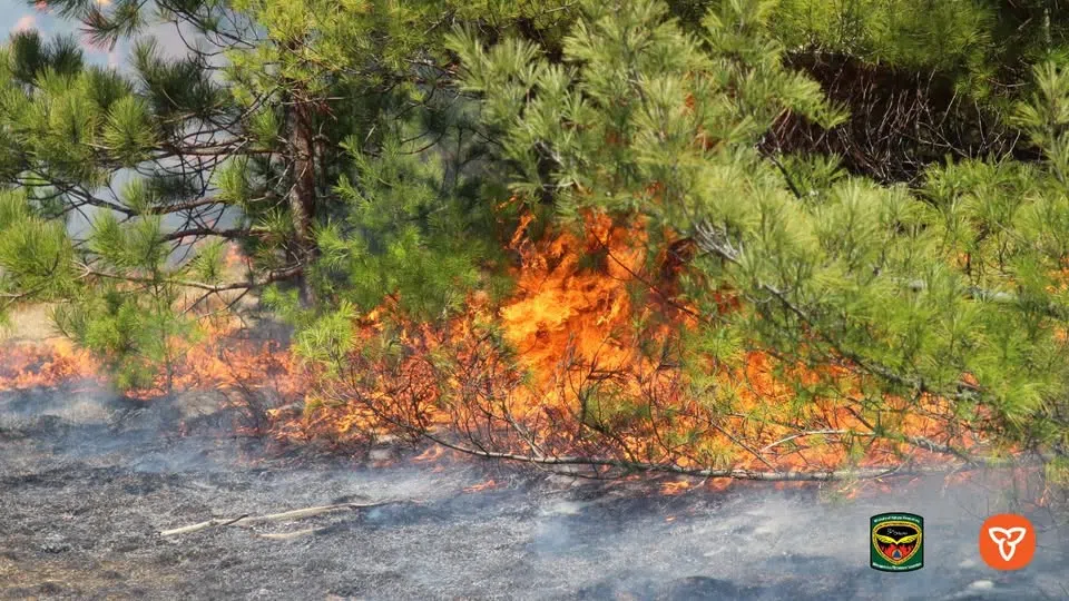
Active Wildfires continue to spread through northwestern Ontario. May 8,2025. Image: Ontario Forest Fires Facebook page
Three new wildfires were discovered in Northwest Ontario on Friday, as the region continues to face high to extreme fire danger.
The largest of the new blazes, Nipigon 6, is burning south of Petawanga Lake and covers 30 hectares. It is not under control. Two other fires—Nipigon 7 and Thunder Bay 14—were also reported, each under 5 hectares in size, but still active.
In total, 14 fires are currently burning across the Northwest Region.
Significant resources remain focused on large and complex fires already underway:
-
Red Lake 12, near Deer Lake First Nation, has grown to 9,616 hectares. Crews have been laying hose lines on the east side of the community and aerial firefighting operations are ongoing.
-
Nipigon 5, near Webequie First Nation, is over 6,900 hectares and remains uncontrolled.
-
Kenora 20, near Ingolf and Wabaseemoong, is one of the largest fires in the province, now at 34,008 hectares. Fire crews continue to target hotspots along the eastern edge, where winds have helped hold the perimeter.
Air quality warnings remain in place for several communities due to smoke from active fires. Special Air Quality Statements are currently in effect for Kenora, Fort Frances, Dryden, Fort Hope, and Sioux Narrows. Residents in these areas are advised to limit time outdoors and monitor for symptoms like coughing, headaches, or shortness of breath.
Evacuation orders and travel restrictions remain in effect around Kenora 20, Kenora 32, and Kenora 14, with Crown land closures, lake use prohibitions, and roadblocks in place to support suppression efforts and public safety. Updated Implementation Order maps are available through the Ministry of Natural Resources and Forestry.
Meanwhile, in the Fort Frances and Sioux Lookout areas, two major fires are now being held. Fort Frances 4 sits at just under 3,600 hectares, and Sioux Lookout 3 is about 1,850 hectares.
Fire officials are urging residents and visitors to avoid affected areas, check for restrictions, and review the province’s interactive fire map for updates. A Restricted Fire Zone is active across most of the region.