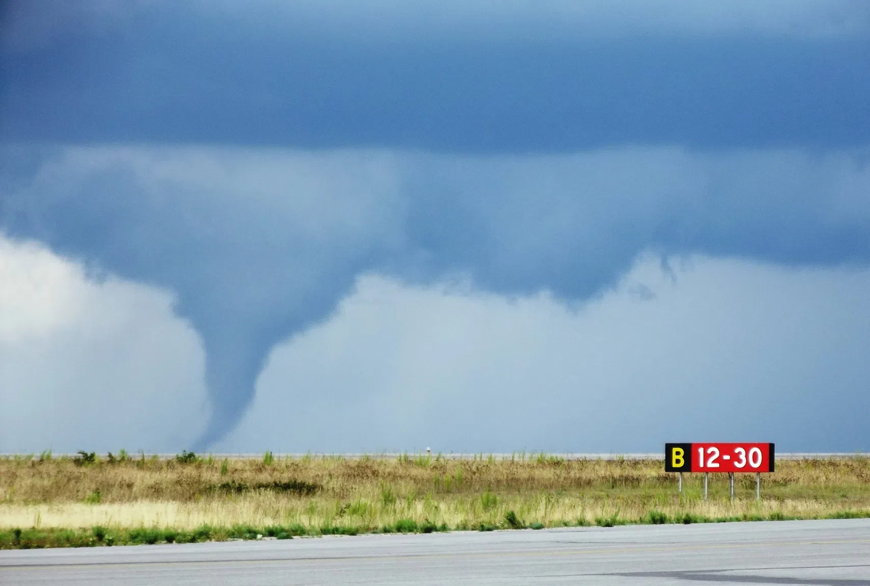
Tornado in Dryden (File Photo)
The unsettled weather is continuing.
A tornado warning has been issued for communities including Atikokan, Dovetail Lake, Steep Rock Lake, Finlayson Lake and Marmion Lake.
Forecasters said a line of severe thunderstorms capable of producing tornadoes is located from Finlayson Lake to 15 kilometres northwest of Calm Lake, moving east at 65 kilometres per hour.
“This is a dangerous and potentially life-threatening situation,” the weather agency said in a warning issued around 3:45 p.m. CT.
Special weather statements are also in effect for much of northwestern Ontario, including a tornado watch for Dryden, Fort Frances and points east.
A severe thunderstorm warning was also issued for the Fort Frances area shortly after 3 p.m. CT. Environment Canada said a line of nearly stationary thunderstorms has developed over the region and is expected to bring heavy rain to the area over the next few hours.
Locations impacted include Fort Frances, Emo, Sandpoint Island Provincial Park, Sleeman, Stratton, Dermid, Devlin, Lake Wasaw, Northwest Bay, Stanjikoming Bay, Windy Point, Cuttle Lake, Otukamamoan Lake, Dumbbell Lake, Little Turtle Lake, Bad Vermilion Lake, Mine Centre, Namakan Lake, Seine River Village and Flanders.
Luke Crawford from Environment Canada says areas near the Canada/U.S. border will likely see the most thunderstorm activity.
“Fort Frances and then along that Highway 11 corridor seems to be the most volatile area for those thunderstorms,” explains Crawford.
“A place like Dryden and Ignace still could be under the gun for severe thunderstorms as well.”
Crawford says the unsettled weather will continue most of today into the early Saturday morning.
“Today especially, we’re getting that humidity really building up. All that combined with the cold front is actually what is going to set off those thunderstorms later today. So, they do go together in that sense. Behind that cold front, we should get out of the heat and the thunderstorms as we get into the weekend.”
Crawford suggests the unsettled weather could be with us the rest of today and even overnight further to the east towards Thunder Bay.