Environment Canada has ended a tornado warning for the Dryden and Vermilion Bay area.
However, a severe thunderstorm warning remains in effect for the region, along with the Ignace and English River area.
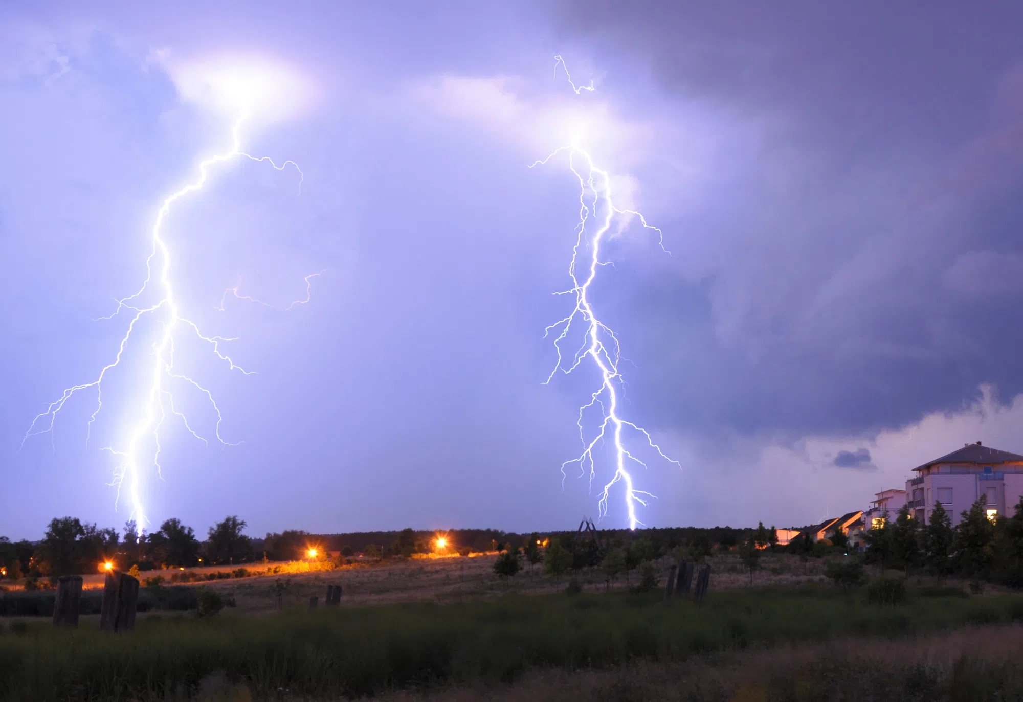
At 9:30 a.m., forecasters were tracking a line of severe thunderstorms capable of producing wind gusts up to 90 kilometres per hour and heavy rain, as well as a possible tornado.
This line of storms is located from eight kilometres northwest of Eltrut Lake to Vermilion Bay, moving northeast at 60 kilometres per hour.
Meanwhile, a severe thunderstorm watch remains in place for:
- Sioux Lookout – Eastern Lac Seul,
- Dryden – Ignace
- Seine River Village – Mine Centre
Forecasters said conditions are favourable for severe thunderstorms that could produce wind gusts up to 90 kilometres per hour, rainfall amounts of 50 millimetres or more and a risk of tornadoes.
Kenora, Grassy Narrows, Whitedog, Fort Frances, Emo, Rainy River, Sioux Narrows, Nestor Falls and Morson were under a severe thunderstorm watch, but it has since ended.