AFFES is responding to fire Kenora 14, located near Caribou Falls Dam and 12 kilometres north of the community of Wabaseemoong. Image: Ontario Forest Fires Facebook page
A Forest Fire east of Ingolf is prompting more evacuations.
Kenora Fire 20, which started on Monday on Longpine Lake, has ballooned to roughly 8,000 hectares in size.
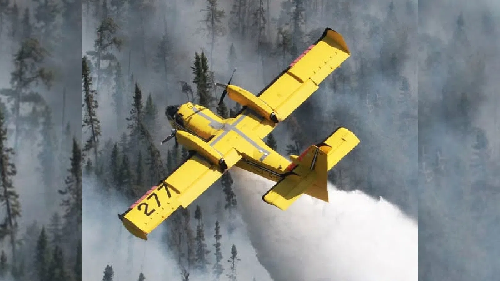
Aerial Suppression assistance is underway with CL415 waterbombers, and FireRangers are on site.
Residents and cottages in the following areas are strongly encouraged to evacuate, including:
- Malachi Lake
- Otter Lake
- Mantario Lake
- Hello Lake
- Jadel Lake
- Musk Lake
- Southern reaches of Tetu Lake, including Scot Bay
Access to these areas is going to become restricted.
Road closures have also been implemented under the authority of Subsection 52(1) of the Public Lands Act, affecting the following roads:
- Gundy Road North of Tannis Lake
- Pickerel Lake Road KM 9 at Pelican Pouch Launch
- Cygnet Lake Road at Hwy 525
Road use is prohibited unless authorized by a travel permit.
Requests for travel permits can be directed to the Kenora District Office of the Ministry of Natural Resources (MNR) at 807-456-2370.
Our next-door neighbours in Manitoba are also dealing with evacuation due to Kenora Fire 20.
Manitoba Parks has implemented mandatory evacuations in the following areas:
- Big Whiteshell
- Crowduck Lake
- Caddy Lake Blocks 1, 2, 5, 6, 7, 8
- Green Bay Resort
- West Hawk Lake-McDougall’s Landing
- Bisland Landing
- Indian Bay
- Florence Lake
- Nora Lake
- Ophir Siding
- Mantario Trail
- Hunt Lake Trail
- Lost Lake Trail
- Whiteshell River Self-Guiding Trail
- Big Whiteshell Hiking and Mountain Bike Trails
- All water routes, portages, and backcountry campsites along Whiteshell River and Mantario Zone between Caddy Lake to Big Whiteshell and Crowduck Lake
Nopiming, Wallace Lake, South Atikaki, Manigotagan River provincial parks are also closed including all cottage subdivisions, commercial areas, campgrounds, group use, day use, recreational and picnic areas, playgrounds, trails, beaches and backcountry canoe routes and campsites.
A state of local emergency has been declared for these parks.
Residents in these areas have until 5:00 p.m. their time to evacuate.
Cottagers, residents and commercial operators are being asked to check in at reception centres.
For South Whiteshell, go to West Hawk Lake Fire Hall; for North Whiteshell, go to the Rennie District Office.
The Hunt Lake Trail is closed.
Meanwhile, Kenora 14 continues to burn at roughly 1379 hectares in size.
A total of 14 FireRanger crews and seven helicopters have been assigned to the fire.
The fire is burning near the community of Wabaseemoong.
Crews are focused on encircling the fire’s southern and western perimeters closest to the community and structures near the fire.
The MNR has put orders into effect for public safety in areas near Kenora 14, including:
- All travel and use of roads, including Highway 525 at and beyond the northern boundary of Wabaseemoong First Nation, is prohibited unless authorized by a travel permit
- All use of lakes and waterways within the English River system between Tetu Lake (UTM 15U 356895 5562897) and Umfreville Lake (UTM 358379 5570917) is prohibited
- All use of lakes and waterways between Goshawk Lake (UTM 15U 371012 5562576) and Umfreville Lake (UTM 3712722 5570758) is prohibited.
- All use and occupation of Crown Land, within the hatched area identified on the attached Implementation Order map (Schedule A), is prohibited.
The map can be found by clicking here.