Eleven active wildfires continue to burn across northwest Ontario, with four still not under control, prompting widespread restrictions and ongoing firefighting efforts.
Kenora 20 remains the largest and most volatile, covering over 31,000 hectares.
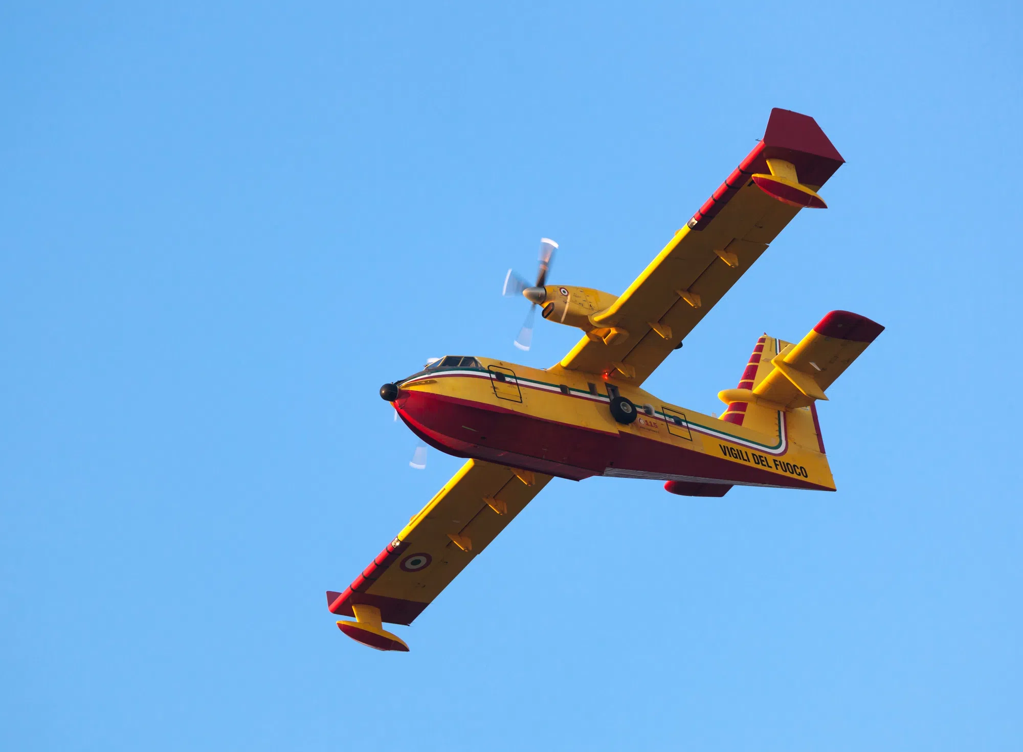
Fire crews are attacking the fire from both the ground and air, including CL-415 waterbombers and helicopters. Firefighters are building hoselines and working from the perimeter inward, focusing on the area near Ingolf and the fire’s eastern and northern flanks.
Due to the danger, an evacuation order and travel ban for areas near Kenora 20. The restrictions apply to roads, lakes, and Crown land throughout the affected region, including Malachi Lake, Rice Lake, and the Winnipeg River below Whitedog Falls.
Kenora 14 is being held at 1,607 hectares. Crews have made progress reinforcing the eastern perimeter. It is also subject to an emergency area order with access restrictions on Highway 525 and surrounding waterways and Crown land.
Fort Frances 4 remains steady at 3,593 hectares. While fire activity has calmed, an implementation order is still in effect restricting road and waterway access. The earlier evacuation alert for this area has been lifted.
Sioux Lookout 3 is also holding at 1,849 hectares. Suppression efforts continue with hoseline setup and support from heavy equipment. An evacuation order and extensive travel bans remain in place, including access to Kashaweogama Lake and Crown lands near the CN rail line and Savant Lake.
A small new fire, Fort Frances 6, was confirmed on May 22 but has already been declared out.
The wildland fire hazard remains extreme in many western sectors including Kenora, Dryden, Red Lake, and Fort Frances. Conditions are drier than normal despite recent rain and cooler temperatures.