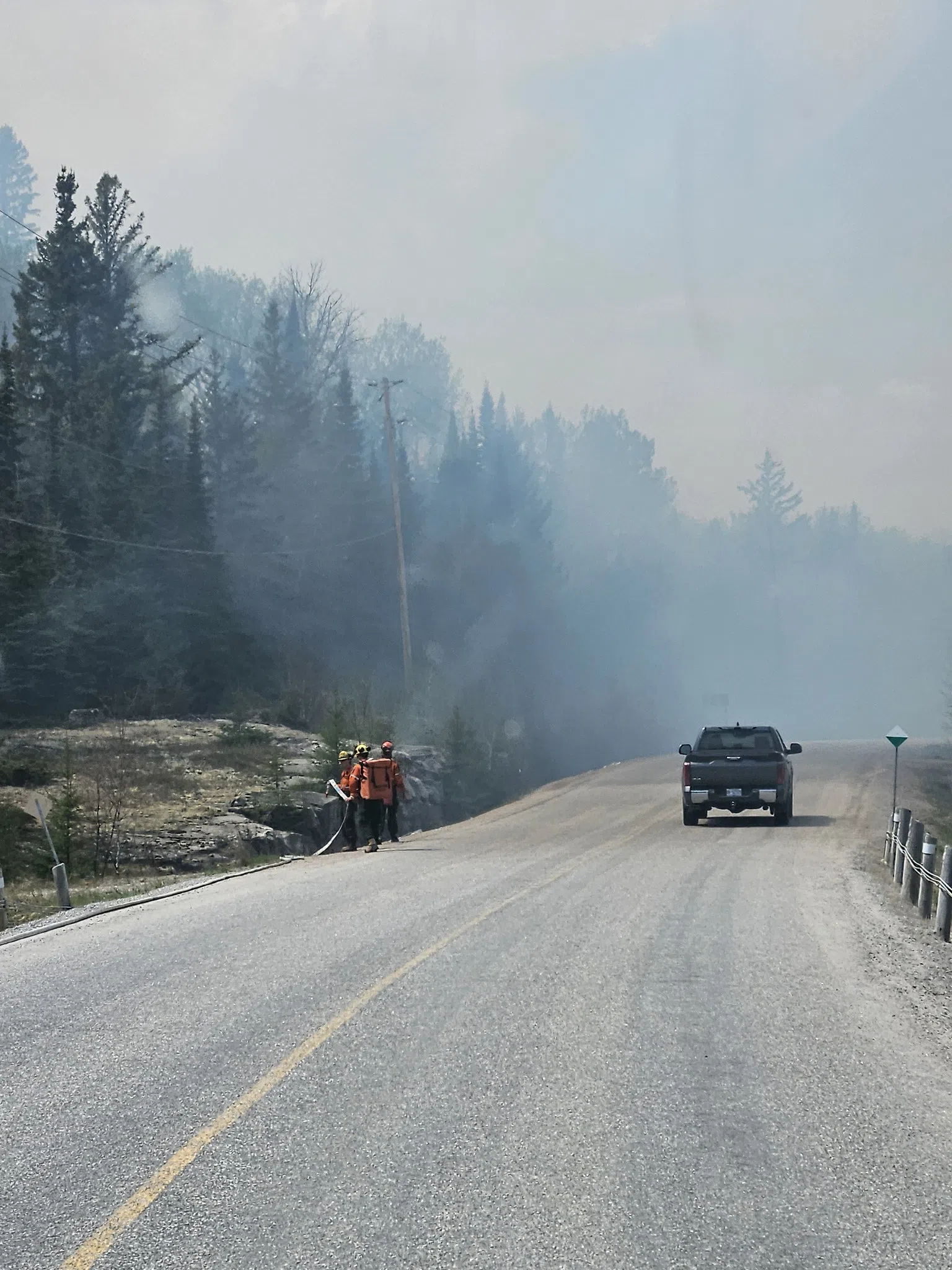
Four new wildfires were confirmed in Northwestern Ontario by the evening of July 17 as fire activity continues to increase in some areas due to drying conditions.
The new fires include Red Lake 112, located west of Sharp Lake, which is being held at 0.2 hectares. Three new fires in the Kenora sector—Kenora 45, 46, and 47—are all small, ranging from 0.1 to 0.5 hectares, but remain not under control. All three are located in the area surrounding Roger Lake.
In total, 51 fires are currently burning across the Northwest Region. Fourteen are not under control, three are being held, six are under control, and 28 are being observed.
The wildland fire hazard is currently low through the southern ends of Fort Frances, Thunder Bay, and Nipigon sectors. However, it is moderate to high across much of the rest of the region, with one area north of Red Lake showing extreme fire danger.
Among the active fires, Red Lake 62 remains a major focus. Measuring 31,367 hectares, the fire continues to burn out of control. Crews are working along its northern and southeastern perimeters with heavy equipment and helicopters. An Incident Management Team remains assigned to the fire and several others in the area.
Forest fuels are drying quickly after earlier rainfall, and fire behaviour is rising again. More firefighting crews are arriving in the coming days to replace exhausted personnel and strengthen efforts on the ground.
A travel restriction is still in place near Red Lake 62 under Emergency Area Order 2025-011. It limits access to multiple roads, trails, and waterways near Pikangikum. People are being asked to avoid the area, and permits are required for authorized travel.
Elsewhere, Red Lake 40 near North Spirit Lake remains out of control at 8,789 hectares, but recent rainfall has reduced fire activity. Crews are now using hose lines and helicopters to address hot spots. Aerial infrared scans are also helping identify hidden heat sources.
At McDowell Lake First Nation, Red Lake 67 is now mapped at 26,182 hectares and remains out of control. Fire crews are focused on protecting critical infrastructure and preparing to secure the fire’s eastern perimeter.
Finally, Red Lake 72, burning east of Poplar Hill, is now 4,941 hectares in size. Two crews are currently working on spot fires on the east side of McInnes Lake.
The Ministry of Natural Resources and Forestry continues to monitor fire conditions and is reminding the public to check local restrictions and avoid affected areas.